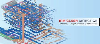
The architecture and engineering industries are shifting their focus toward 3D models. GIS and BIM developed as information technologies that satisfy distinct functions in the organizations that operate and build infrastructure and communities. Integration of BIM & GIS is gaining trust in complex and large-scale projects. BIM technologies are commonly used in architectural and civil engineering projects, whereas GIS systems are generally used in environmental projects.
What is BIM?
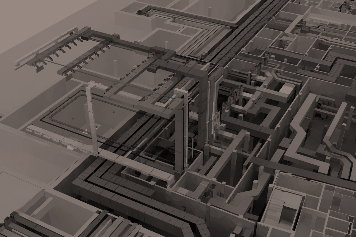
BIM (Building Information Modeling) is a method of creating and managing information on a construction project throughout its entire life cycle. An organized digital description of every element of the built asset is created as part of this process, using a set of appropriate technology. This digital description is likely to include a mix of information-rich 3D models and associated structured data such as product, execution, and handover information. BIM objects, which make a BIM model, are intelligent, have geometry, and can store data. If any element is modified, BIM software updates the model to reflect the modification.
BIM Software:
- Revit.
- Revizto.
- Navisworks.
- ArchiCAD.
- Vectorworks Architect.
- Edificius.
- Midas Gen etc.
What Is GIS?
GIS (Geographic information system) is a computer system that captures, stores, verifies, and displays data about positions on the Earth’s surface. GIS can display a wide range of data on a single map, including streets, buildings, and vegetation. This allows people to see, analyze, and comprehend patterns and relationships more easily. It is a 2D & 3D representation of geospatial shapes.
It assists users in comprehending patterns, spatial relationships, and geographic context. Eventually, it facilitates efficient facility management and asset operation and maintenance decisions.
GIS Software:
- ArcGIS.
- QGIS.
- GRASS GIS.
- SuperGIS.
- SAGA GIS.
- JUMP GIS.
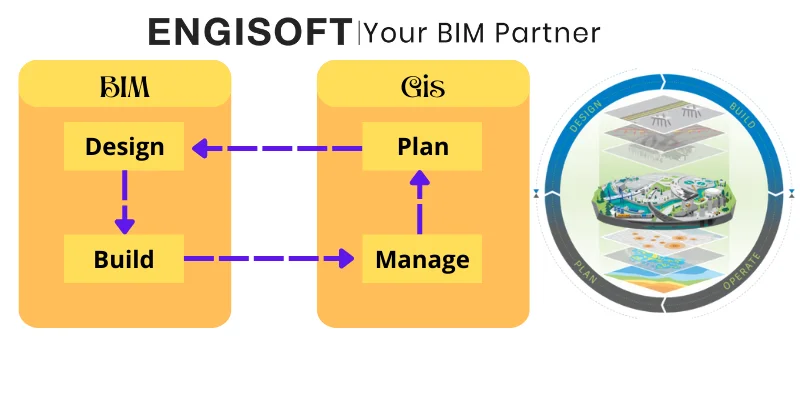
Application of BIM-GIS Integration
As previously stated, In Integration of BIM & GIS , BIM is a 3D representation of complex geometries linked to property data. GIS is doing approximately the same thing. It is involved with representing 2D large scale geospatial shapes linked to property data.
Facility Organization
Operations and repairs work is required due to utility failure or according to routine schedules. In the Integration of BIM & GIS ,the integrated model provides us with ready-to-use information about utilities that the operation and maintenance team can use to identify the location, types, and material. The availability of information about the utility improves the system’s effectiveness, reducing time delays and cost overruns.
Visualization
The BIM-GIS platform allows for the geometric 3D visualization of each component, which contains both geometric and semantic information. The visualization makes project planning and execution easier. The GIS environment allows for the visualization of geographic terrain, terrain details, surrounding facilities, and ground and underground infrastructural facilities.
Benefits of BIM and GIS Integration
- Getting rid of data redundancy
- Data is moved seamlessly between stages of the design and construction processes
- Increasing the effectiveness of geospatial context in the BIM process
- Saving money and cutting costs
- Better and more refined designs
- Cloud storage to improve data management in any environment
- If necessary, reusing and repurposing data Eliminating the need to convert data for use in other contexts
FAQ
How does GIS and BIM work together?
BIM and GIS work by blending the BIM model into layers of the geospatial context.
What software is used to integrate BIM and GIS?
Autodesk and Esri collaborate to provide BIM and GIS solutions.
What exactly is BIM and GIS fusion?
The fusion of BIM and GIS gives you the ability to create a robust context model by combining geographic information and infrastructure design data.
What is the difference between GIS and BIM?
GIS includes mapping capabilities and geographical databases, whereas BIM is used specifically for building assets as an object-based information model.
What are the five components of GIS?
A functional GIS consists of five major components: hardware, software, data, people, and methods.
What are the 6 functions of a GIS?
GIS functions include data capture, data transfer, data storage, data querying, data analysis, and data presentation.
What are data types in GIS?
GIS data is classified into two types: vector data and raster data.
What are the disadvantages of GIS?
GIS technology may be regarded as costly software. It also necessitates massive data input amounts that are required to be practical for some other tasks, and thus the more data that is to be entered. Because the earth is round, there will be geographic error, which will increase as you travel further.